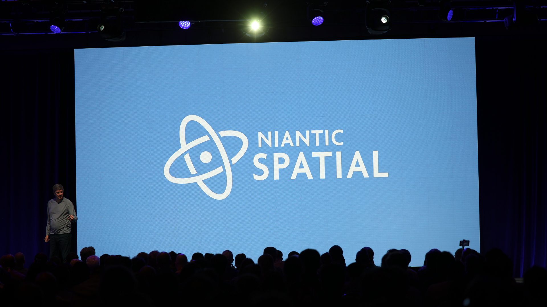
Welcome back to AWE Talks, our series that revisits the best of AWE’s conference sessions. With a fresh batch of footage from AWE EU 2024, we have a treasure trove of on-stage insights to dive into.
We continue the action this week with Niantic's insights on the importance of mapping for real-world AR interaction. What is the company doing to innovate with mapping and the experiences built on top of it?
See the summarized takeaways below, along with the full session video. Stay tuned for more video highlights each week and check out the full library of conference sessions on AWE’s YouTube Channel.
Speakers
Kit Gilbert, Niantic
Key Takeaways & Analysis
– For many forms of AR, scene understanding is critical to realistic immersion.
– This is especially the case for geospatial AR meant to interact with specific places.
– It can involve environmental scanning, as well as already-captured cloud-based 3D maps.
– Niantic has built a business around this, with a founding legacy in mapping (Google Earth).
– The company has since evolved into a set of tools such as Lightship ARDK and VPS.
– These require high-scale real-world mapping which in turn is supported by crowdsourcing.
– For example, Pokémon Go users strengthen the map with passive and active data capture.
– Passive capture involves aggregated/anonymized movement data that helps improve the map.
– Active capture meanwhile includes scanning locations for high-quality 3D models.
– Niantic's 2001 Scaniverse acquisition unlocked and accelerated this scanning capability.
– Gaussian splatting was then integrated this year for more detailed and photorealistic scans.
– The result is 1 million scanned locations, with 50,000 being added on a daily basis.
– Another way to break down the necessary ingredients for geospatial AR is 3 pillars.
– The first pillar is to capture, which involves all the scanning and location data above.
– This pillar enables everything else that comes next by offering a framework to build on.
– The second pillar is to locate which localizes AR devices in space to precisely orient them.
– GPS works for 2D navigation but for AR's precise needs, VPS is a more effective tool.
– The third pillar is to augment, which is the user-facing element most familiar to everyone.
– This involves creativity that's unlocked through tools like 8th Wall and Niantic Studio.
– Altogether, Niantic is well on the way to realizing and delivering the promise of geospatial AR.
For more color, see the full video below...

Want more XR insights and multimedia? ARtillery Intelligence offers an indexed and searchable library of XR intelligence known as ARtillery Pro. See more here.
Speakers
Kit Gilbert, Niantic
Key Takeaways & Analysis
– For many forms of AR, scene understanding is critical to realistic immersion.
– This is especially the case for geospatial AR meant to interact with specific places.
– It can involve environmental scanning, as well as already-captured cloud-based 3D maps.
– Niantic has built a business around this, with a founding legacy in mapping (Google Earth).
– The company has since evolved into a set of tools such as Lightship ARDK and VPS.
– These require high-scale real-world mapping which in turn is supported by crowdsourcing.
– For example, Pokémon Go users strengthen the map with passive and active data capture.
– Passive capture involves aggregated/anonymized movement data that helps improve the map.
– Active capture meanwhile includes scanning locations for high-quality 3D models.
– Niantic's 2001 Scaniverse acquisition unlocked and accelerated this scanning capability.
– Gaussian splatting was then integrated this year for more detailed and photorealistic scans.
– The result is 1 million scanned locations, with 50,000 being added on a daily basis.
– Another way to break down the necessary ingredients for geospatial AR is 3 pillars.
– The first pillar is to capture, which involves all the scanning and location data above.
– This pillar enables everything else that comes next by offering a framework to build on.
– The second pillar is to locate which localizes AR devices in space to precisely orient them.
– GPS works for 2D navigation but for AR's precise needs, VPS is a more effective tool.
– The third pillar is to augment, which is the user-facing element most familiar to everyone.
– This involves creativity that's unlocked through tools like 8th Wall and Niantic Studio.
– Altogether, Niantic is well on the way to realizing and delivering the promise of geospatial AR.
For more color, see the full video below...
Want more XR insights and multimedia? ARtillery Intelligence offers an indexed and searchable library of XR intelligence known as ARtillery Pro. See more here.


